EVERYDAY RTKExplore product
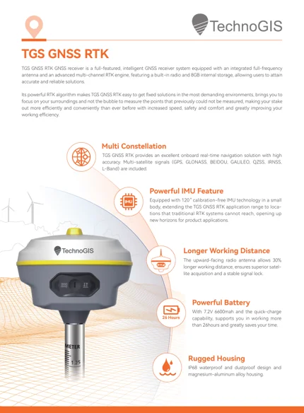
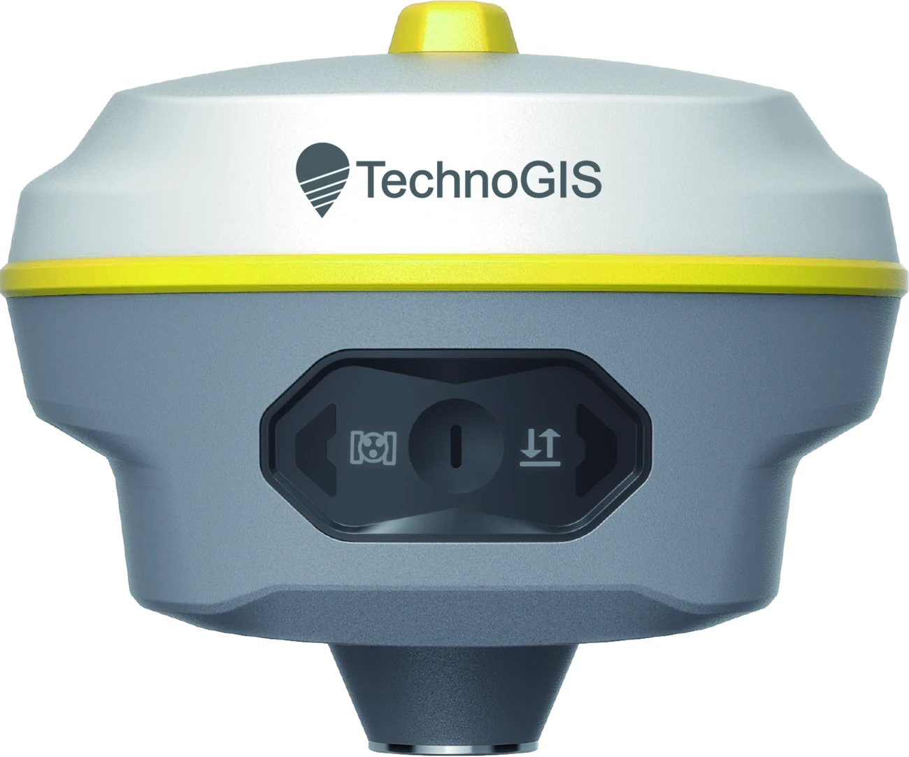
TGS EQ10
A compact, multi-constellation GNSS RTK receiver with 1,408 channels, calibration-free IMU and up to 26 hours of rover operation.
26 hRover operating time
8 GBStorage
IP68Dust & water protection
Meet Equator GNSS: professional RTK receivers that connect satellite positioning, inertial measurement and field-ready design. A TechnoGIS product family.
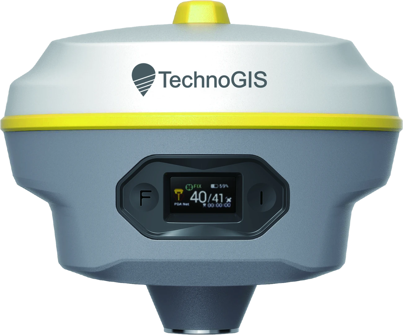
Choose all-day GNSS surveying with EQ10, or extend your reach with EQ20 laser measurement and AR stakeout.
A compact, multi-constellation GNSS RTK receiver with 1,408 channels, calibration-free IMU and up to 26 hours of rover operation.
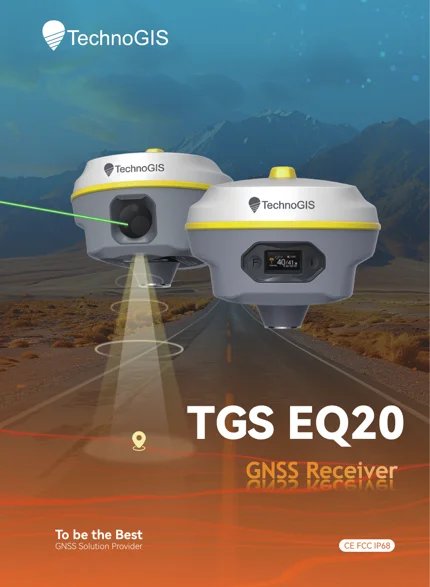
A laser GNSS RTK receiver combining 200 m laser measurement, AR stakeout, 120° IMU, 4G and 32 GB storage.
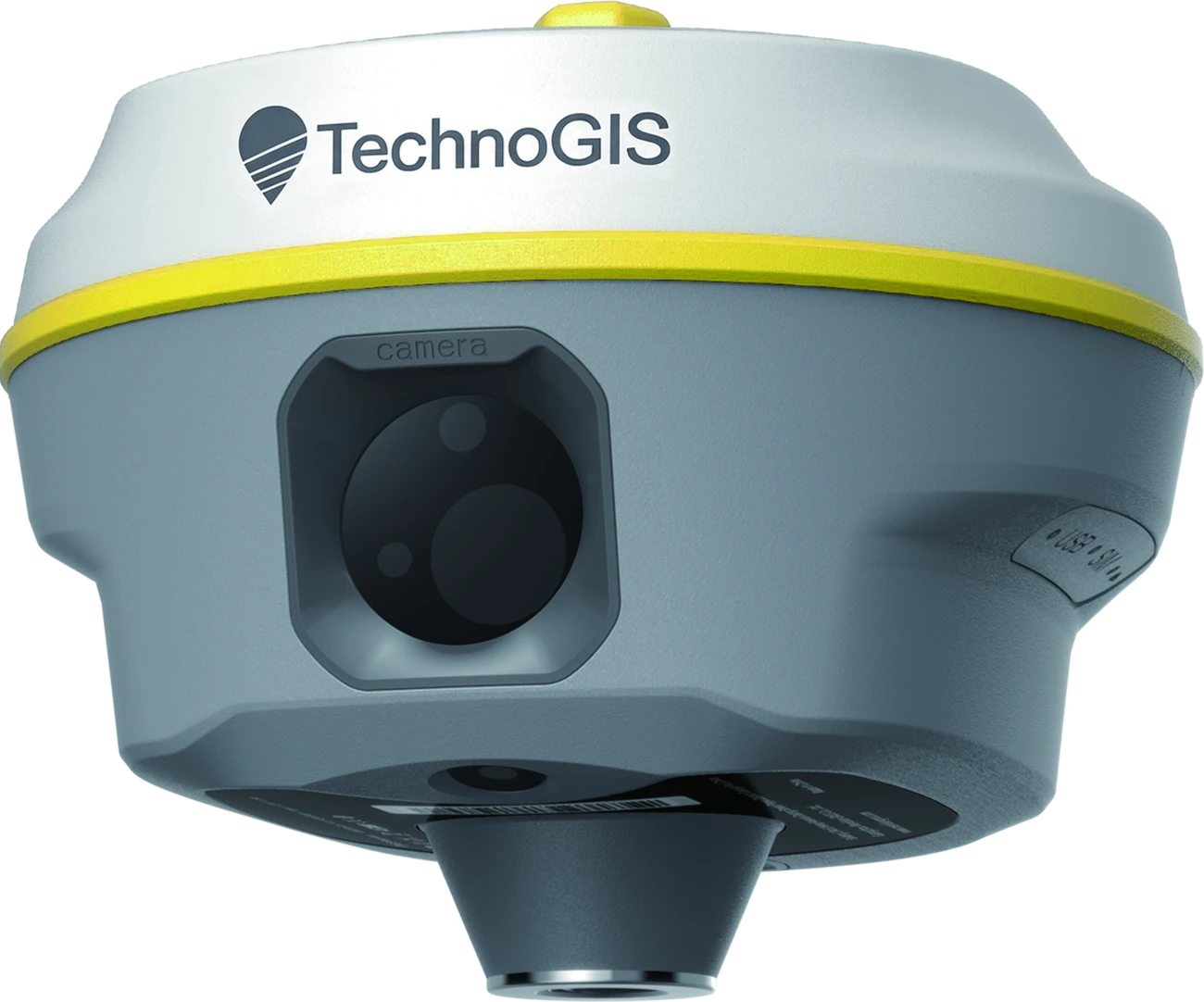 EQ20 / 200 m LASER
EQ20 brings laser measurement to points that are difficult to approach. Aim with the camera and measure from a more accessible position.
Overlay design points on a live camera view for a more intuitive stakeout workflow. EQ20 has two 5 MP cameras.
Measure with a tilted pole. Both receivers support an IMU range up to 120°, with the stated tilt accuracy applying at angles up to 60°.

Collect control points, topographic observations and survey data with GNSS RTK positioning.

Support site layout, corridor surveys and infrastructure measurements; EQ20 adds remote laser point measurement.
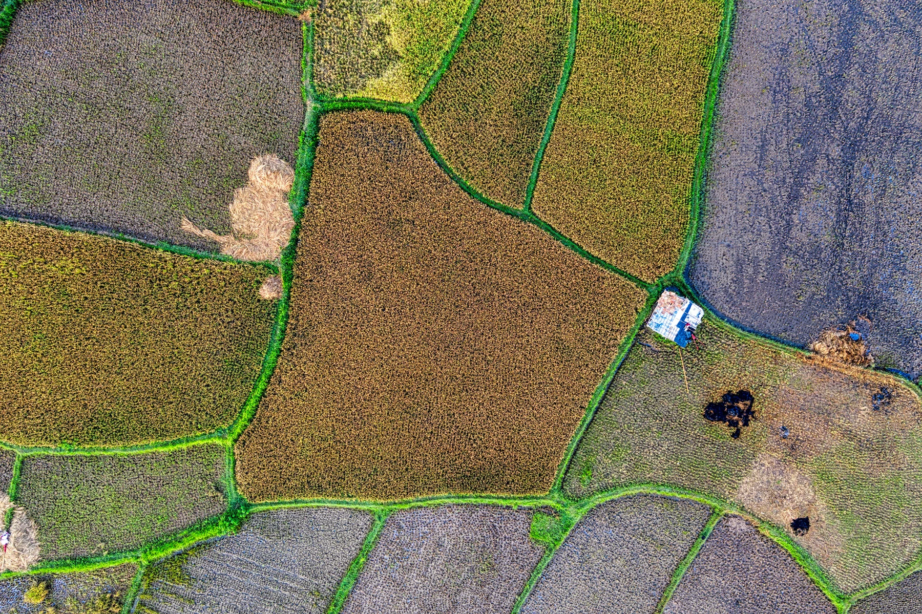
Acquire field reference points for land management, agricultural mapping and environmental projects.
Original product brochures and company information, ready to download.
Downloads