GNSS vs GPS: what surveyors need to know
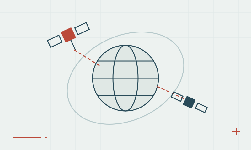
GPS is one satellite constellation. GNSS describes the wider positioning ecosystem, including Galileo, BeiDou and GLONASS.
Read articleFifty practical articles on satellite positioning, RTK corrections, survey procedures and reliable geospatial data.
1–12 of 50 articles
Page 1 of 5GPS is one satellite constellation. GNSS describes the wider positioning ecosystem, including Galileo, BeiDou and GLONASS.
Read articleMore constellations can improve observation availability, especially where part of the sky is obstructed.
Read articleMultiple frequencies provide additional observations and help separate some atmospheric effects from geometric distance.
Read articleCode measurements provide a range estimate; carrier phase enables precise relative positioning when its ambiguities are resolved.
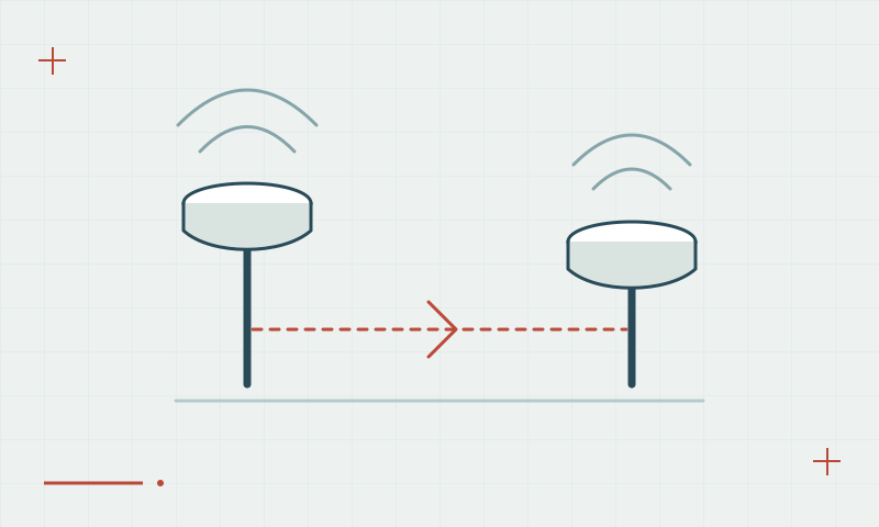
Read articleRTK combines simultaneous base and rover observations with a real-time data link.
Read articleFixed and float describe ambiguity handling, not a guarantee that every coordinate is correct.
Read articleRTK provides results during collection. PPK computes positions afterward from recorded observations.
Read articleStationary observation methods need a session plan tied to baseline, geometry, obstructions and required uncertainty.
Read articlePrecise Point Positioning and RTK use different correction and estimation strategies.
Read articleSatellite-based augmentation provides correction and integrity information, but it is different from a local RTK workflow.
Read articleA precise relative measurement still depends on the base position, antenna setup and coordinate settings.
Read articleA base location should support stable mounting, useful sky visibility and reliable communication.
Read article