GNSS vs GPS: what surveyors need to know
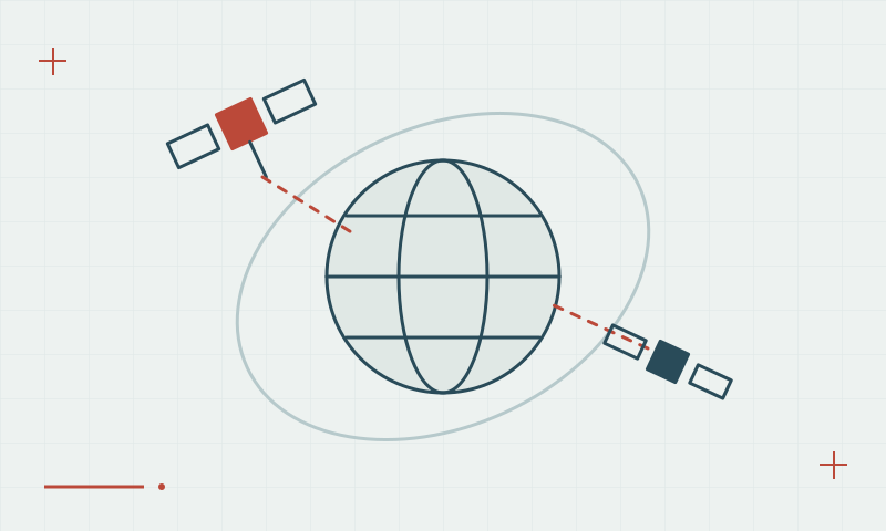
GPS is one satellite constellation. GNSS describes the wider positioning ecosystem, including Galileo, BeiDou and GLONASS.
One system within a wider family
GNSS is the general term for satellite navigation systems, while GPS names the system developed by the United States. A receiver may observe more than one constellation. This can increase the available observations, but the receiver must support the signals being transmitted.
Continue learning Why multi-constellation GNSS matters
What this changes in the field
Compare supported signals rather than relying only on a constellation count. Obstructions, reflections, correction availability and survey procedures still affect the result. For precise work, identify the positioning method and coordinate reference system before recording points; a GNSS label alone does not establish survey accuracy.
Continue learning Multi-frequency GNSS: beyond the L1 label
Practical checklist
- List the constellations and signals your receiver supports.
- Check the available sky view at the work site.
- Record the positioning method and coordinate reference system.
Plan your GNSS setup
Compare the EQ10 and EQ20 receiver specifications, then discuss the configuration and support your project needs.
Compare GNSS receivers