Satellite count and signal quality: what to check together
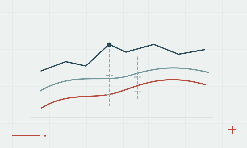
A larger satellite count can help availability, but useful observations must also be healthy and well distributed.
Read articleFifty practical articles on satellite positioning, RTK corrections, survey procedures and reliable geospatial data.
25–36 of 50 articles
Page 3 of 5A larger satellite count can help availability, but useful observations must also be healthy and well distributed.
Read articleThe ionosphere affects radio-signal propagation and can change the behavior of precise positioning.
Read articleThe lower atmosphere affects GNSS signals, and height estimation needs careful modeling and field checks.
Read articleLoss of continuous carrier-phase tracking can require ambiguities to be resolved again.
Read articleCoordinates need a reference frame, units and height definition to be interpreted correctly.
Read articleA UTM easting and northing need the correct zone, hemisphere and datum.
Read articleThe height computed from GNSS is not automatically the elevation required by an engineering project.
Read articleA local transformation should be built from trustworthy control and tested on independent points.
Read articleA precise coordinate may need both a frame realization and an epoch.
Read articleA distance on a projected coordinate grid is not always the same as a measured ground distance.
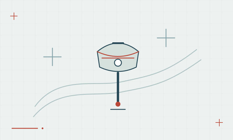
Read articleA tilt-capable receiver estimates the relationship between the antenna and pole tip; the setup still needs checking.
Read articleA laser-capable GNSS workflow combines receiver positioning with another measurement, so both parts need validation.
Read article