Local site calibration: connecting GNSS to project coordinates
A local transformation should be built from trustworthy control and tested on independent points.
A fit is not an independent accuracy check
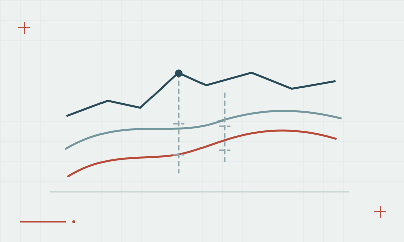
Site calibration relates GNSS coordinates to a local project system using common control points. The selected model and control distribution influence the result. Small residuals on the points used to build the transformation do not independently demonstrate performance elsewhere in the work area.
Continue learning Coordinate reference systems and datums for GNSS surveys
Reserve points for validation
Use reliable, well-distributed control and investigate outliers before accepting a fit. Keep separate check points out of the calibration and review their residuals. Document the transformation, coordinate references and working extent so the next crew does not apply a local fit beyond the area or assumptions it supports.
Continue learning Reference frames and coordinate epochs: why dates matter
Practical checklist
- Inspect the quality and distribution of common control.
- Reserve independent points for validation.
- Document transformation settings and the intended working extent.
Plan your GNSS setup
Compare the EQ10 and EQ20 receiver specifications, then discuss the configuration and support your project needs.
Compare GNSS receivers