Ellipsoid, geoid and orthometric height: keeping elevations consistent
The height computed from GNSS is not automatically the elevation required by an engineering project.
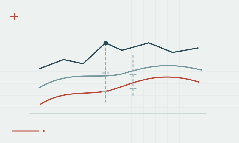
Different heights use different reference surfaces
Ellipsoidal height is geometric and referenced to a mathematical ellipsoid. Orthometric height is related to the gravity field and the adopted vertical reference. A compatible geoid model connects these height types using its stated conventions; the commonly used relationship is H = h − N.
Continue learning Antenna height: a small setup detail with large consequences
Use a compatible model and vertical reference
Record the height type in field files and exports. Confirm that the geoid model matches the horizontal reference and project vertical datum. Compare against suitable benchmarks, because selecting a model in software is not an independent validation and a single unexplained offset may hide a reference mismatch.
Continue learning Tropospheric delay and GNSS height measurements
Practical checklist
- Label every exported height with its height type.
- Check model, datum and reference compatibility.
- Compare the result with suitable independent benchmarks.
Plan your GNSS setup
Compare the EQ10 and EQ20 receiver specifications, then discuss the configuration and support your project needs.
Compare GNSS receivers