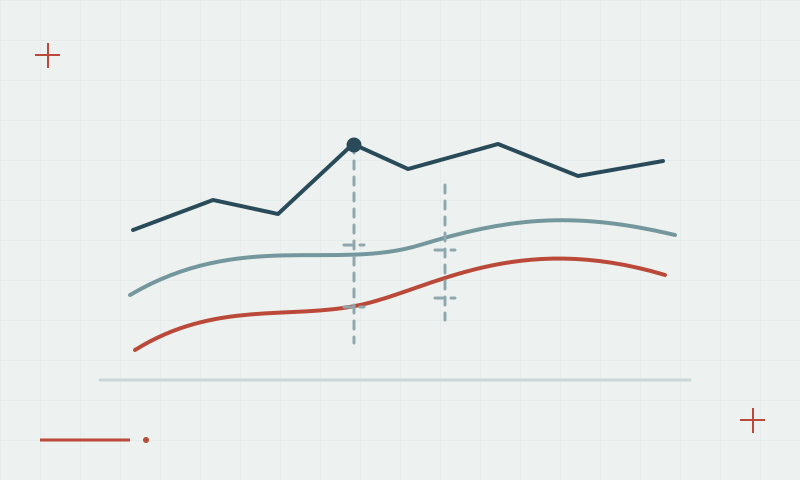
Tropospheric delay and GNSS height measurements
The lower atmosphere affects GNSS signals, and height estimation needs careful modeling and field checks.
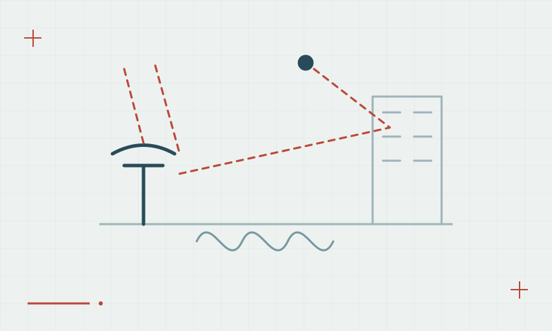
A different atmospheric effect
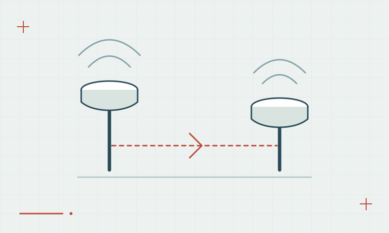
Tropospheric delay depends on atmospheric conditions along the signal path and is handled through models and estimation strategies. It does not behave like the frequency-dependent ionospheric effect. Differences between reference and rover conditions can matter, especially when demanding vertical accuracy over changing terrain or weather.
Continue learning The ionosphere and GNSS: why conditions can change
Validate the vertical result directly
Use suitable height control and confirm the vertical datum and antenna height before interpreting a discrepancy as an atmospheric issue. Inspect repeated observations and processing diagnostics. A well-behaved horizontal position does not automatically prove that the height component meets the project requirement.
Continue learning Ellipsoid, geoid and orthometric height: keeping elevations consistent
Practical checklist
- Check antenna height and vertical datum first.
- Compare results with suitable independent height control.
- Record conditions and investigate repeated vertical residuals.
Plan your GNSS setup
Compare the EQ10 and EQ20 receiver specifications, then discuss the configuration and support your project needs.
Compare GNSS receivers