Antenna height: a small setup detail with large consequences
Antenna-height errors can persist through an otherwise good GNSS solution.
Measure to the correct reference
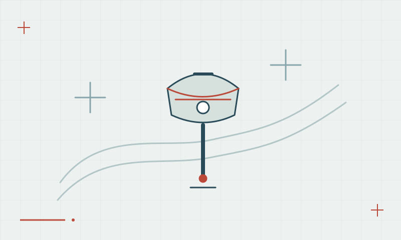
Receiver software must interpret the distance between the survey mark and the antenna reference point using the correct measurement convention. Vertical and slant measurements are not interchangeable without the proper conversion. An integrated receiver may define a specific measurement location in its documentation.
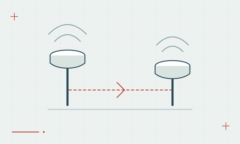
Continue learning Base and rover setup: getting the relationship right
Make the value traceable
Measure before and after an occupation, record units and note the antenna model and pole extension. Check that the controller has not retained a previous pole height. A fixed RTK status will not detect a height value entered incorrectly, so the field record must support an independent review.
Continue learning IMU tilt compensation: benefits and verification
Practical checklist
- Identify the documented antenna reference point.
- Confirm vertical or slant measurement and units.
- Recheck height after moving or adjusting the equipment.
Plan your GNSS setup
Compare the EQ10 and EQ20 receiver specifications, then discuss the configuration and support your project needs.
Compare GNSS receivers