What SBAS adds to satellite positioning
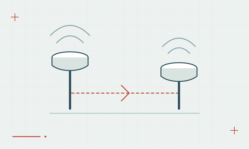
Satellite-based augmentation provides correction and integrity information, but it is different from a local RTK workflow.

An augmentation layer for supported users
SBAS services broadcast information that compatible receivers can use to improve particular navigation functions. Service regions, supported signals and intended applications differ. An SBAS-capable receiver must receive and process the relevant service; the capability label does not mean that every augmentation service is available worldwide.
Continue learning GNSS vs GPS: what surveyors need to know
Match the method to the deliverable
Do not treat SBAS and RTK as interchangeable precision categories. Define the coordinate uncertainty the project needs, identify the actual correction source and check the result against suitable control. Use the receiver documentation and the service provider information to confirm what is currently supported.
Continue learning Why multi-constellation GNSS matters
Practical checklist
- Identify the regional augmentation service in use.
- Check receiver and signal compatibility.
- Validate that the method meets the project requirement.
Plan your GNSS setup
Compare the EQ10 and EQ20 receiver specifications, then discuss the configuration and support your project needs.
Compare GNSS receivers