DOP and satellite geometry: reading the quality indicators
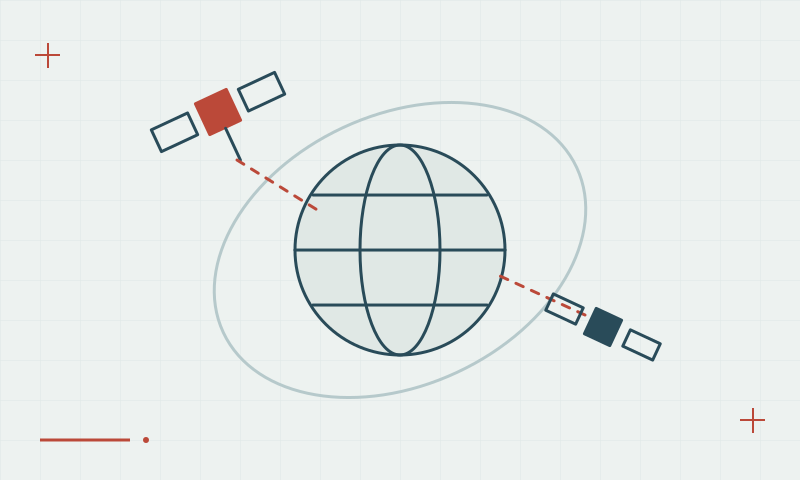
Dilution of precision describes how observation geometry affects the position solution.
Distribution matters as well as quantity
Satellites concentrated in similar directions provide different geometric strength from satellites spread across the visible sky. DOP values describe aspects of this geometry, including horizontal, vertical or combined positioning. They do not directly measure every error in the received signals or validate the survey coordinate system.
Continue learning Satellite count and signal quality: what to check together
Read DOP with the rest of the evidence
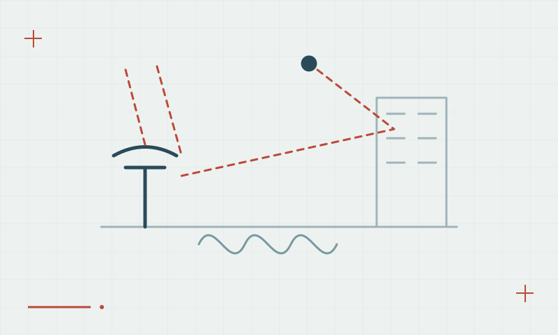
Use geometry indicators alongside solution status, correction age and independent check-point residuals. Low DOP does not remove multipath or an incorrect antenna height. Plan repeat observations if geometry changes significantly, and follow project-specific acceptance criteria rather than applying one unqualified threshold to every task.
Continue learning Why multi-constellation GNSS matters
Practical checklist
- Review geometry together with signal and correction quality.
- Keep independent coordinate checks in the workflow.
- Use the project acceptance criteria for DOP limits.
Plan your GNSS setup
Compare the EQ10 and EQ20 receiver specifications, then discuss the configuration and support your project needs.
Compare GNSS receivers