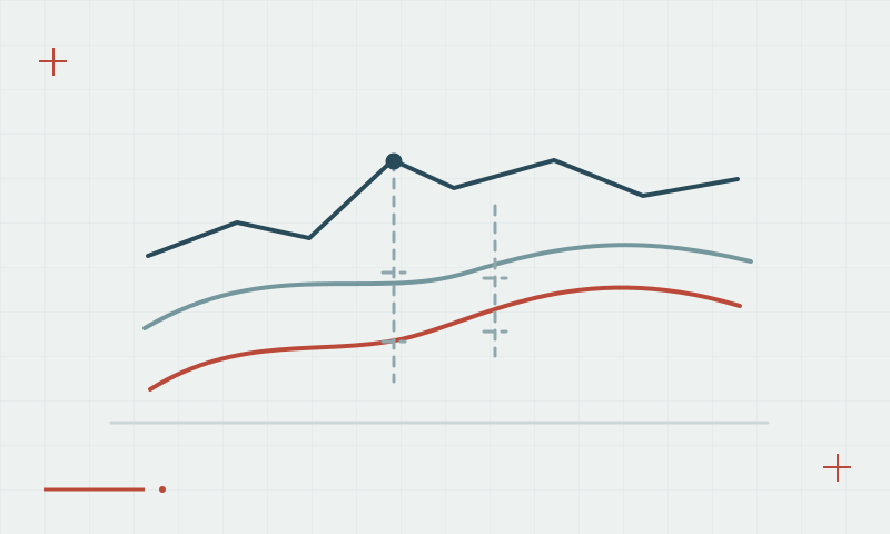
Topographic GNSS surveys: collecting more than isolated points
A useful terrain dataset needs consistent positioning, feature descriptions and appropriate coverage.
Plan around the surface and its changes
Topographic work should represent the features and terrain breaks needed by the deliverable. A large point count does not compensate for missing breaklines, incorrect feature coding or unreliable heights. Establish the coordinate and height references and define which features require a different measurement method.
Continue learning Antenna height: a small setup detail with large consequences
Keep field meaning attached to coordinates
Use consistent point identifiers and feature codes, record difficult observations and check control throughout the job. Review the developing surface and feature coverage before leaving the site. Preserve notes that explain whether a point represents ground, an object top or another feature so later modeling does not misinterpret it.
Continue learning Ellipsoid, geoid and orthometric height: keeping elevations consistent
Practical checklist
- Define feature codes and terrain coverage in advance.
- Check reference consistency and important heights.
- Review missing features and breaklines before leaving.
Plan your GNSS setup
Compare the EQ10 and EQ20 receiver specifications, then discuss the configuration and support your project needs.
Compare GNSS receivers